Project: 4.4
Identifying and managing refuges from threats
Project Leaders: Diana Fisher , Michael Kearney
Research in Brief
Refuges are important to many species, as they allow many species to survive environmentally stressful times, like droughts, fires and disease outbreaks. While fixed refuges like mountain tops can be easy to identify, many species rely on temporary refuges which move in time and space.
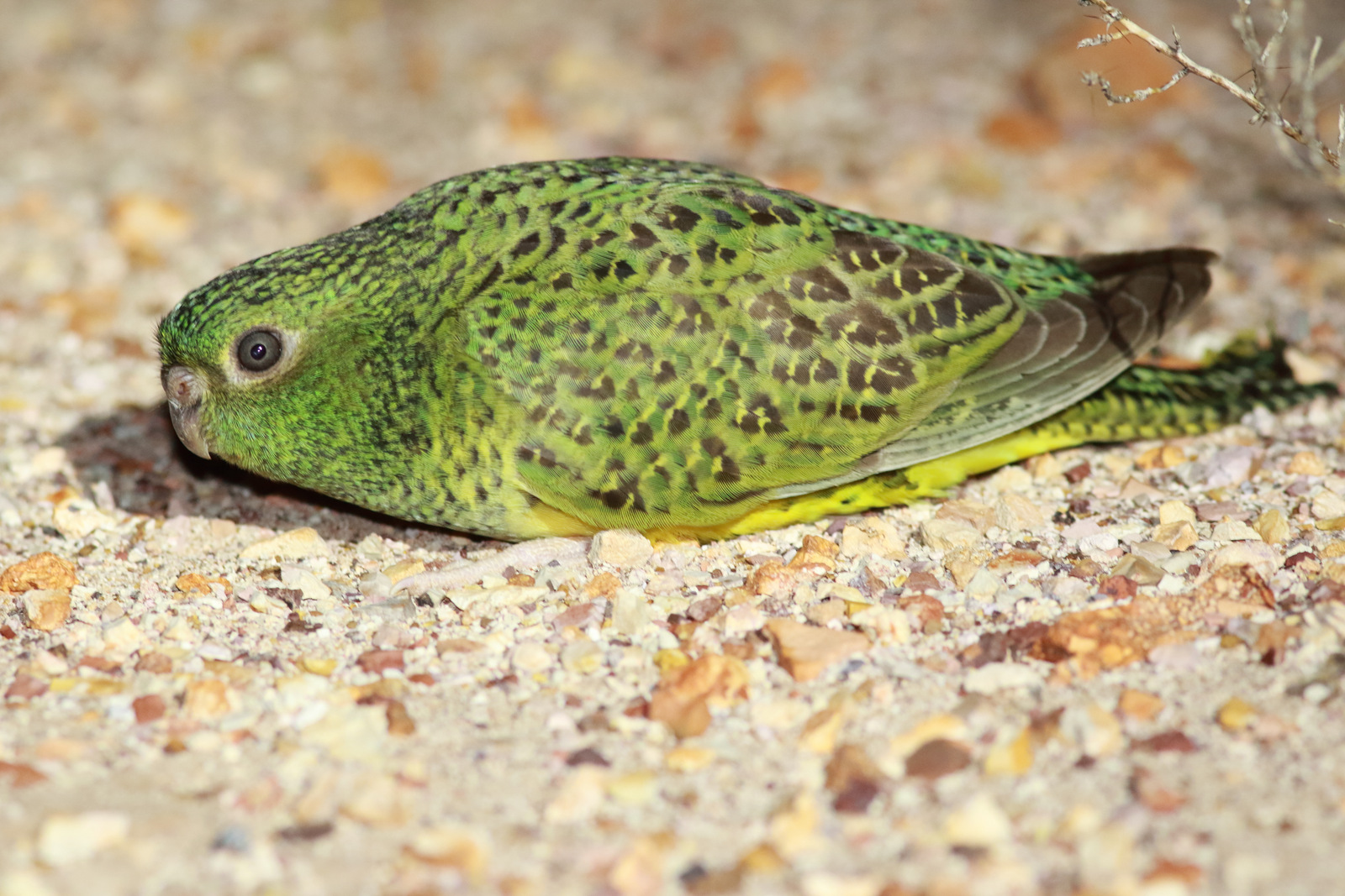
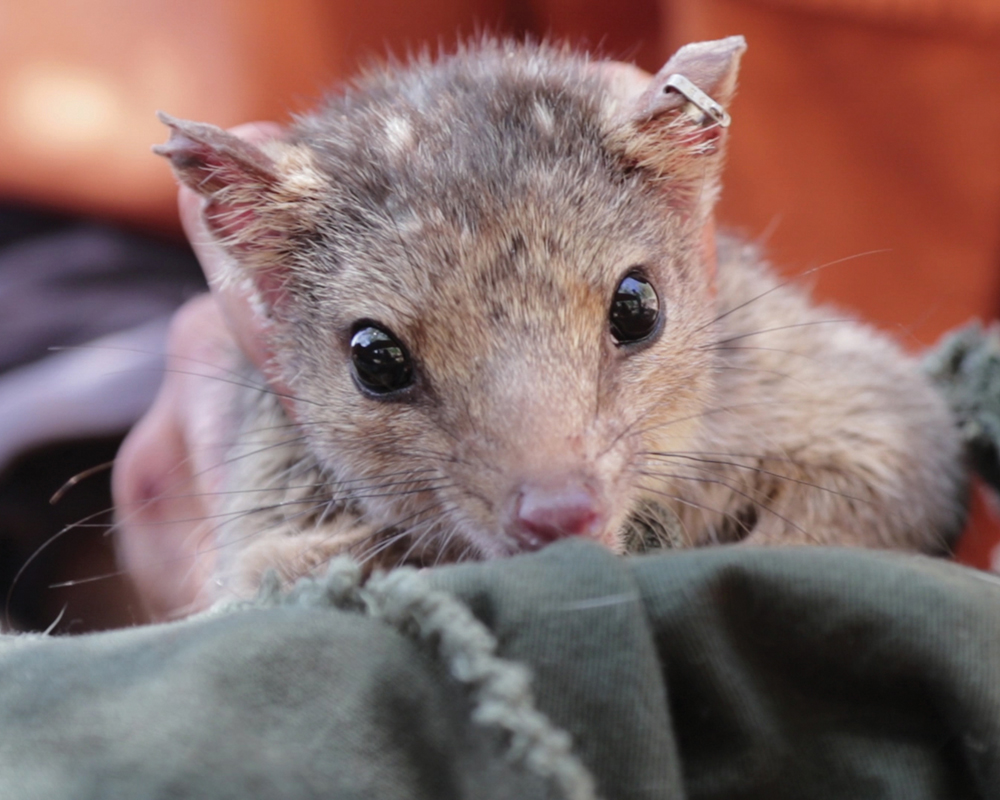
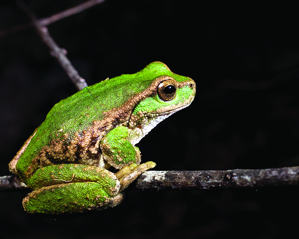
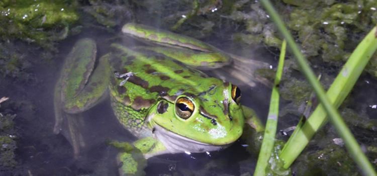
This project will advance our understanding of both fixed and shifting refuges to support their protection and management. It will also identify the critical refuge attributes for a number of threatened species including: the spotted tree frog, great desert skink, several species of antechinus, Sharman’s rock wallaby, and northern quoll. It will also examine how feral cats use refuges in arid zones and rangelands.
Why is the research needed?
When times are good, many species have a relatively wide distribution, but distributions contract as times get tougher. Refuges are the last places to provide conditions that enable a species to survive threats including predators, fire, drought, disease, and climate change, until environmental conditions improve.
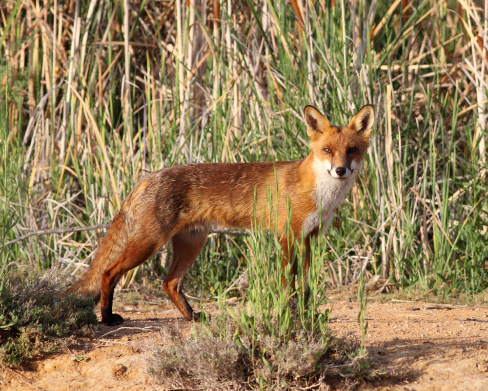
Refuges can also enable pest species, like feral cats, to persist through hard times. To plan management programs for pest species, it is valuable to understand which refuges they depend on.
The important role of permanent refuge places has long been acknowledged. These include rock outcrops, vegetation remnants or drainage lines, and larger refuges such as islands and mountains. Once identified, it is relatively easy to manage these places.
However, many species also rely on refuges that shift in time and space, such as patches of fruiting vegetation which are only temporary. Seasons, fire and rain are common factors leading places to be refuges at sometimes but not others. As a result many species move about the landscape, using places while they are suitable, before moving on.
The needs and therefore the refuges of different species vary. Traditional conservation measures such as national parks may be insufficient to prevent the decline of native species dependent on shifting refuges. For these species, a more effective approach could be to find the ecological features in the landscape that provide resources and protection, and to promote and enhance these places. Research is needed to be able to identify and predict the location of these places in order to protect them and the ‘transient’ landscape that connects them.
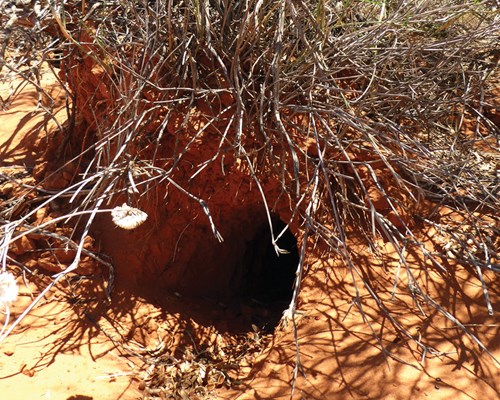 In arid and semi-arid zones burrows are used by both native and introduced animals to survive temperature extremes. Photo: Natalalie Briscoe
How will the research help?
This research will draw together previous research on fixed and shifting refuges in Australia to consolidate current knowledge. It will then fill a number of knowledge gaps including:
- Identifying important rocky and mountain top refuge areas across Australia, to support the management of these places, and to guide surveys for new populations of threatened species.
- Investigating the role of soil moisture in creating refuges for burrowing arid zone species, such as the great desert skink, and how this knowledge can be used to predict refuge places and times critical to the survival of these species.
- Identifying the environmental attributes and locations that can enable threatened frog species to survive the invasive disease chytrid fungus. This knowledge will be valuable to direct conservation actions to areas where frogs have the greatest chance of survival.
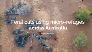
- Identifying where and when feral cats are dependent on refuges in arid and semi-arid Australia, and the features of these refuges, and how feral cat management can exploit knowledge of feral cat refuges.
What research activities are being undertaken?
- Soil moisture/burrowing animals – A soil moisture modelling framework has been designed and tested and will be used to infer refuges. Field work has been undertaken in collaboration with AWC to monitor humidity and air temperature within great desert skink burrows and to compare this to outdoor temperatures throughout the day and throughout the year.
- Models that predict water and soil temperatures as a function of weather and site properties (e.g. wetland size, shade) are being developed and tested against field data. Predictions of environmental conditions are combined with physiological information for threatened frog species to identify factors that influence chytrid risk.
- GPS collars with temperature and humidity data are being fitted to feral cats in the arid zone, with data used to identify which microhabitats are used by feral cats during times of stress. The data are also being used to test physiological models that can predict feral cat reliance on fine-scale refuges over broader spatial scales.
- National review and mapping of rocky and mountain refuges – and production of recommendations for improved management
- Fieldwork on the causes of distribution limits for the restricted-range, mountain-top dwelling black-tailed antechinus, silver-headed antechinus and Atherton antechinus.
- Fieldwork on rock outcrops as refuges from cats, fire, and drought for northern quolls and Sharman’s rock wallaby.
Who is involved?
The research is being jointly led by the University of Melbourne and the University of Queensland. Field work and mapping is in collaboration with the Royal Botanic Gardens, Biosecurity Queensland, Queensland National Parks and Wildlife, CSIRO, Australian Wildlife Conservancy, Arid Recovery, the South Australian Department for Environment and Water and Natural Resources and Parks Victoria.
Where is the research happening?
Field research is occuring at: Queensland National Parks: Kroombit Tops, Danbulla and Springbrook; Australian Wildlife Conservancy sanctuaries: Mt Zero-Taravale sanctuary (QLD), Kalamurina Sanctuary (SA), Newhaven Sanctuary (NT) and Scotia Sanctuary (NSW); Arid Recovery (SA); Andado Station and Mac Clark Conservation Reserve (NT); and at Millstream Chichester NP and on a cattle station near Port Headland (WA). Fieldwork is also being undertaken at wetlands and dams (including private land) in greater Melbourne and Perth.
When is the research happening?
The project will run for four years from 2016 to December 2020.
Further information
For more information please contact:
Diana Fisher - d.fisher@uq.edu.au
Michael Ray Kearney - m.kearney@unimelb.edu.au
This project involves the following subprojects:
Project 4.4.7 Threatened bird conservation in Murray-Darling Basin wetland and floodplain habitat
Project 4.4.8 Mapping distributions, threats and opportunities to conserve the greater glider
Top Image: The plains mouse makes use of refuge areas to survive times of environmental stress. Photo: Natalie Briscoe