Project: 3.2.5
Arid Zone Monitoring: Surveys for vertebrates across arid and semi-arid zones
Project Leaders: Sarah Legge
CLICK HERE TO SEE ALL THE REPORTS, SPECIES PROFILES AND TOOLS AND GUIDES FOR ARID ZONE MONITORING.
Background
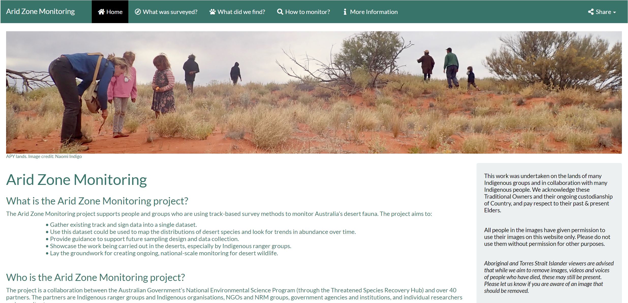
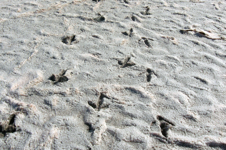
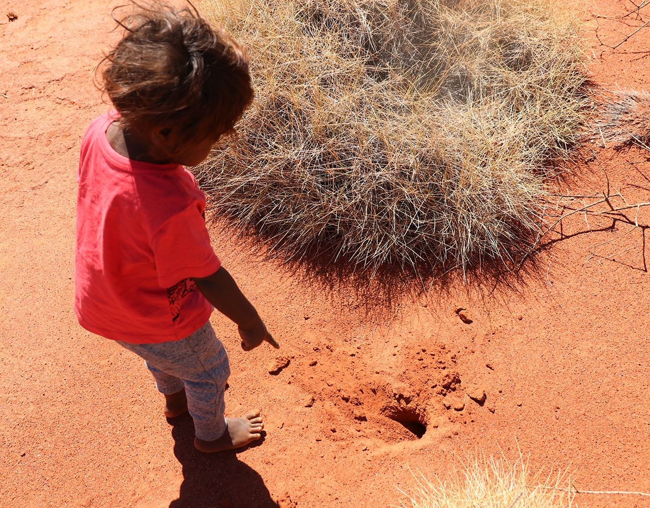
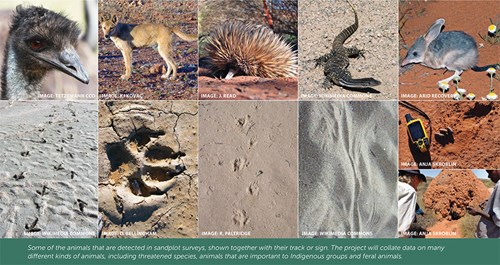
As animals move across desert sands, they leave the story of who they are and what they are doing in their tracks, diggings and scats. People with the right skills can read these animal signs like words on a page. Many Indigenous Australians use this language expertly, to know where the goannas are fat and abundant, when bilby burrows are occupied, and where the emus are heading.
By blending these tracking skills with ecological science, this information can be collected in a standardised way and used to monitor the presence of animals across large areas, to track changes over time, and identify important environmental conditions for key species. The blended method that developed is the ‘2-ha plot’ survey (also called trackplot surveys, sign surveys, cybertrack surveys, or Tracks App surveys). The method involves searching a 2 ha area for a standard amount of time (or effort), recording all identifiable animal signs, and describing habitat characteristics.
2-ha plot surveys have become very popular and are used widely. Some groups have surveyed with a rigorous sampling design to answer specific questions; other groups have used 2-ha plot surveys for other reasons, such as an incentive for getting to long-unvisited parts of country, or to provide opportunities for people to share knowledge.
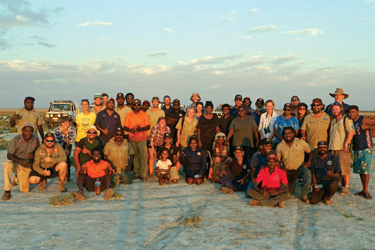
Since 1982, over 14,000 surveys have been carried out across almost two-thirds of Australia, by over 35 Indigenous and non-Indigenous groups, representing an incredible collective effort, but the data have never been brought together.

What is the Arid Zone Monitoring project?
This project worked with project partners to collate and analyse all of the available information, to produce a collective picture of the distributions of desert species and their threats, and how these are changing over time.
The Arid Zone Monitoring project, which ran from mid-2018 to mid-2021, aimed to:
1. Collate track-based survey information into a one national dataset.
2. Investigate the value of this national dataset for describing species distributions and trends.
3. Develop an approach to designing track-based monitoring programs to detect trends at regional and national scales.
4. Provide guidance to collaborators on sample design and data collection.
5. Showcase the work being carried out by many groups across the deserts.
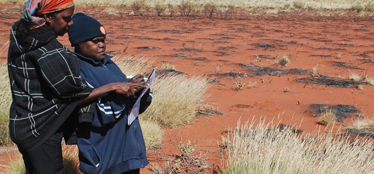
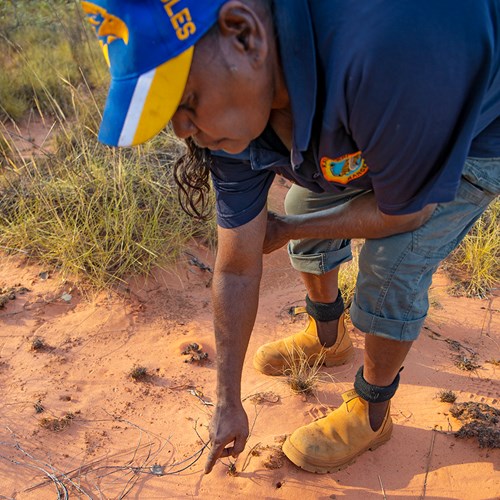 Jacqueline Shovellor, Karajarri ranger, checking tracks during a survey on the Karajarri IPA. Photo: Nicolas Rakotopare
The collated national database has 48,525 animal presence records, from 14,815 surveys carried out at 5363 sites. Indigenous ranger groups have collected most of this data. The key outputs from this project are listed below. Please click on the link to find the information you need.
• Reports
o Arid Zone Monitoring Project Report
o Arid Zone Monitoring Project Summary
o APY Lands field trip report
• Species Profiles (animal factsheets)
o For 44 species or groups (if you want a single PDF with all species click here)
• Monitoring design guidance
o Monitoring design for track-based surveys
o Detailed example of how to design a regional monitoring program (coming soon)
o Summary of how to design a regional monitoring program
o Detailed example of the design of a national monitoring program (coming soon)
o Detailed analysis of features that affect detectability (coming soon)
• Data collection guidance and templates
o AZM report perspectives on tracking data
o Data recording sheet and instructions
o Data entry templates
Please also check out the interactive website, here.
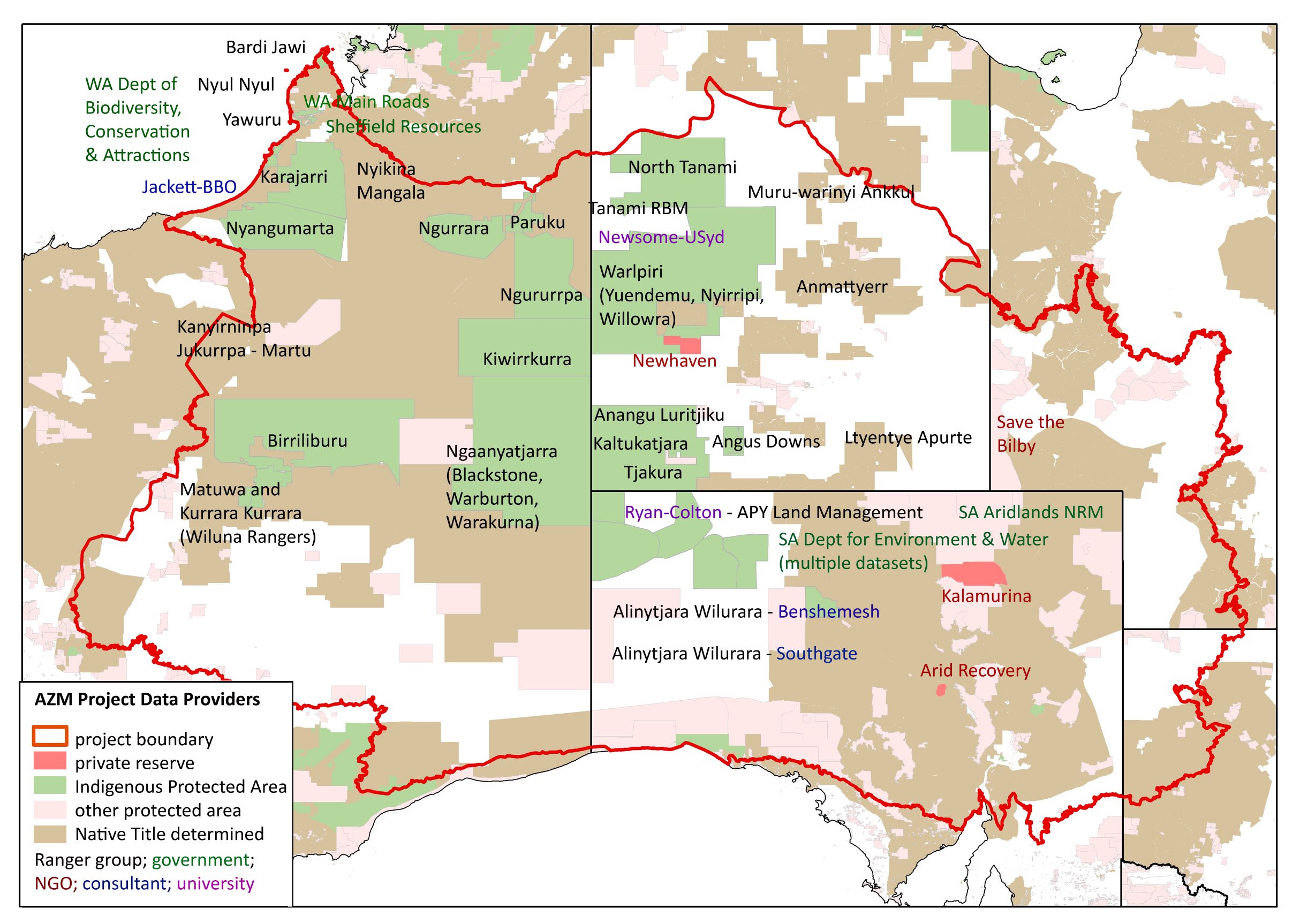
Who was involved and where are they?
The TSR Hub project team worked with 37 different groups and people who shared their data into the Arid Zone Monitoring National Database. The project partners are shown on the map below.
The project area covered over 3,270, 000km2 of central Australia, and small areas of the low rainfall tropics.
Contact details
For more information or enquiries, or to provide feedback, please contact Sarah Legge on AridZoneMonitoring@gmail.com
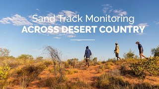
Top image: KJ Martu Rangers recording animal sign near a Martu burning site. Image: KJ