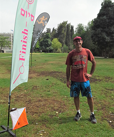
Noam Levin
Head of the Remote Sensing Lab, Department of GeographyThe Hebrew University of Jerusalem
Professor Noam Levin has been Head of the Remote Sensing Lab at the Department of Geography, The Hebrew University of Jerusalem since 2008. He studies
geographical and environmental patterns and processes of land cover changes in the face of human and climate-induced changes using remote sensing
and Geographic Information Systems (GIS) tools. Noam has published more than 90 peer-reviewed articles on these and other related topics. In his
work, he combines field work, remote sensing of satellite images, spatial analysis of GIS layers, statistical analyses and modelling. Noam’s current
research focuses on remote sensing of night lights as indicators of human activity, wildfires, conservation planning over spatial scales from local
to global, landscape ecology, historical geography and aeolian processes. Noam has a great interest in maps, and in exploring new methods to analyse
spatial information, from historical maps, GIS layers, aerial photographs and satellite images.
