Project: 4.4.12
A national approach to the integration of koala spatial data to inform conservation planning
Project Leaders: Jonathan Rhodes
Research in Brief
The koala populations of New South Wales, Queensland and the Australian Capital Territory are listed as threatened under the EPBC Act. This project will work with these jurisdictions to ensure the national recovery plan for koalas aligns with state/territory strategies, plans and legislation, with the outcome of a coordinated and collaborative national approach to koala conservation. A critical component of the recovery plan will be having up-to-date and robust spatial information on which planning and regulatory decisions may be made. The project will synthesise the latest spatial information on koalas, update mapping and modelling, and incorporate climate change and risk predictions, bringing existing research knowledge into one place.
Why is the research needed?
Conservation management agencies rely on scientifically robust information about the current and potential future distributions of threatened species to inform policy, conservation planning, and regulatory decision-making. As the koala is an iconic, high-profile species found across a large area of Australia, its conservation and management is informed by legislation and koala strategies and plans in various jurisdictions.
To support and inform their respective planning and policy requirements, the various levels of government, together with independent researchers, have developed a range of koala maps and data. However, the approaches and the resulting spatial layers differ. This presents a challenge as to how to manage this data to ensure national decision-making is based on information that is consistent across jurisdictions, while still supporting planning decisions to be made at the state, regional and local scales.
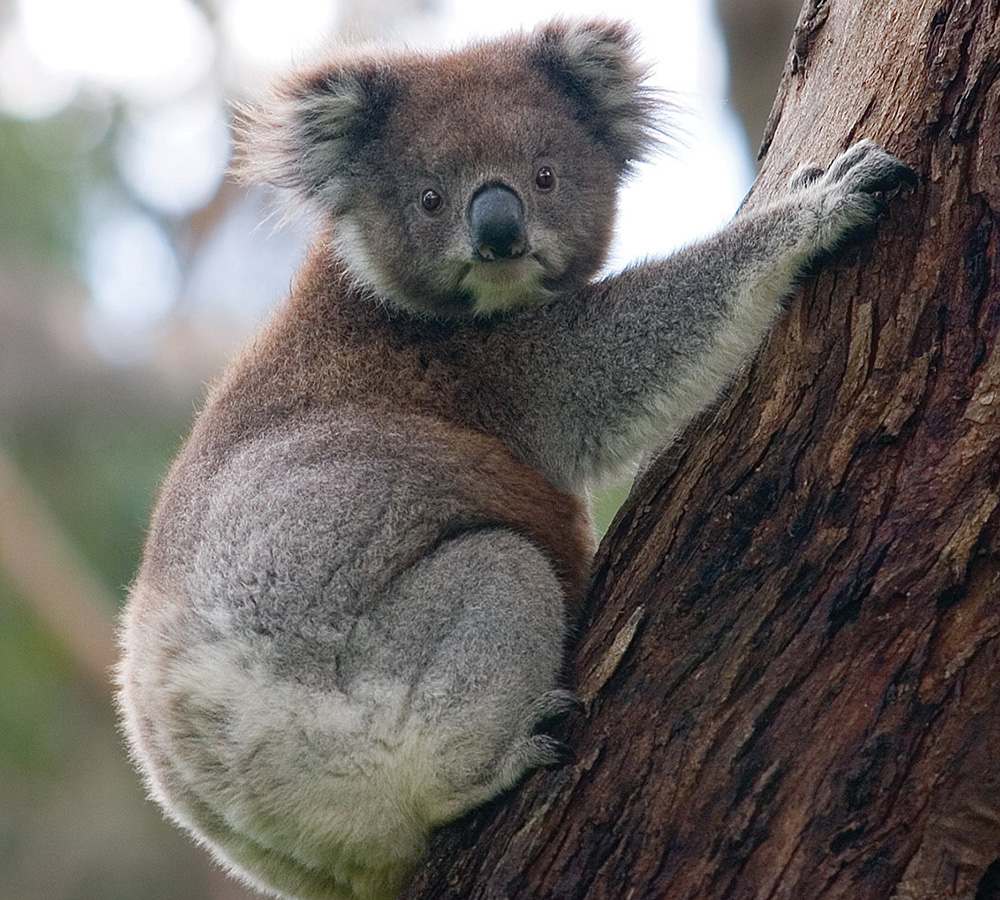
Koala. Diliff CC BY-SA 3.0 Image: Wikimedia Commons
How can the research help?
The project is informing the development of the draft national koala recovery plan; integrating existing state, territory and local government planning information; and helping to establish an ongoing collaboration between jurisdictions in the management of koala spatial information.
Improving national maps of koala habitat that integrate with state and territory planning will greatly improve the consistency and alignment of decision-making for koala conservation across the various jurisdictions. This project is synthesising existing information and generating new nationally relevant information. It is also providing a benchmark information base for planning responses for koala conservation management needs based on the best available expert knowledge.
This will provide an essential resource for future planning and decision-making, including identifying priority areas for investment and informing on-ground management. The information will give greater certainty to planners, regulatory decision-makers and developers. It has the potential to serve as a model for the way such information might be brought together for other species that are widely distributed across the landscape and have comparable challenging information and management needs.
What research activities are being undertaken?
This project is primarily desktop- and workshop-based and does not involve fieldwork. An initial workshop will fully scope the project, engage and seek the agreement of key stakeholders to participate/collaborate, share available data and spatial products, and establish an advisory group. This information will then be brought together to draft spatial layers that will inform koala planning and conservation management, and include an integrated assessment of koala habitat across jurisdictions. The process will be iterative, with regular consultation with the key stakeholders throughout the duration of the project.
The project team will work closely, not only with the Department of Environment and Energy, state/territory and local government representatives and NRM managers, but also with other major land managers across the distribution of the koala, including non-government organisations and Indigenous organisations. A second workshop will review draft layers and inform planning by identifying and agreeing on key koala populations or priority management areas.
Who is involved?
The project is being led by The University of Queensland, and is a collaborative venture between the NESP Threatened Species Recovery Hub; the Department of Environment and Energy; state, territory and local governments; and regional natural resource management groups. GeoScience Australia is contributing spatial data and information.
Where is the research happening?
This project is national, with its geographic scope the area currently spatially identified as koala habitat in New South Wales, Queensland and the Australian Capital Territory, with South Australia and Victoria potentially also participating. The project does not involve on-ground research.
When is the research happening?
The project is running for 12 months in 2020.
Further information
For more information please contact:
Jonathan Rhodes - j.rhodes@uq.edu.au
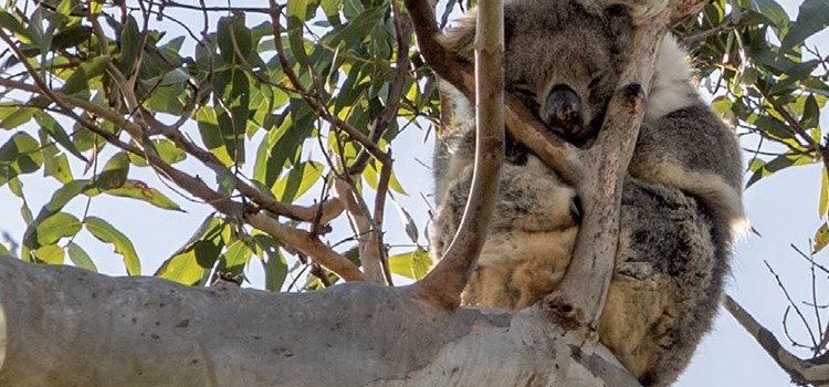
Top image: Koala. Image: Dietmar Rabich. Wikimedia Commons CC BY-SA 4.0